They let you appreciate what was attached to the legs on the women too. Made waiting in the liftline more enjoyable.tyrolean_skier wrote:Thanks for sharing those pictures Dr.Z. Love the pictures of the guys in stretch pants. Their legs look so skinny.
Old Killington pictures
Moderators: SkiDork, spanky, Bubba
-
johnny the jibber
- Level 10K poster
- Posts: 11170
- Joined: Oct 23rd, '05, 21:08
- Location: where the figawi?

-
millerm277
- Postaholic
- Posts: 2587
- Joined: Nov 3rd, '06, 09:43
- Location: NH
If you want to see an old Killington map, and you've got google earth, check this out. http://bbs.keyhole.com/ubb/showthreaded ... page//vc/1
Click view in google earth, and open it. It's one of the old topo maps of K, overlayed into google earth. It's from after the south ridge was built, but before Bear.
Click view in google earth, and open it. It's one of the old topo maps of K, overlayed into google earth. It's from after the south ridge was built, but before Bear.
Didn't realize GE even existed in 66. Did it come down the ridgeline and stop at the top of Skylark?skip wrote:Not unless you consider Great Eastern a trail.Dr Z wrote:skip wrote:Skyelark. Bittersweet was added in the '80s.johnny the jibber wrote:what trail is cut on skye? bittersweet?
Was there a trail off K peak to get there? I don't rmember any of us getting over in that direction during the trip.

I am - entertainment for the lift line!
Listen to the "Wall of Sheep" on the CD I gave you. I don't remember which track it is though. You'll know by the lyrics.SkiDork wrote:Where is Goat Path?
Last edited by Dr Z on Jan 28th, '08, 22:28, edited 1 time in total.
I am - entertainment for the lift line!
Thenbuzzkill wrote:Great stuff, Dr. Z, thanks for sharing these rare views into the past.
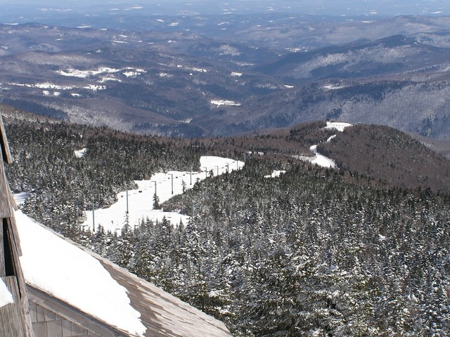
View of the untouched Bear Mtn and South Ridge, just priceless.
And the stretch pants.. oh snap...... Mad props, dude.
edit: Was there a mid-station on the original K chair pictured?
Now
I am - entertainment for the lift line!
Did a little perusing during the State of the Union schmooze.skip wrote:Not unless you consider Great Eastern a trail.Dr Z wrote:skip wrote:Skyelark. Bittersweet was added in the '80s.johnny the jibber wrote:what trail is cut on skye? bittersweet?
Was there a trail off K peak to get there? I don't rmember any of us getting over in that direction during the trip.
To paraphrase Killington, A Story of Men and Mountains, plans were to expand to Skye Peak and a large section of trail was cleared in 1963. It was noted at that time that there were potential problems with winds and a later study indicated a new layout for the area was needed. The area was kept high on the potential development list for the future (chair added in 1987). Instead attention turned to Snowdon ,adding a chair lift and new trails.
By the looks of the trail it looks like the layoutof Skylark. Atta'boy for Skip
I am - entertainment for the lift line!
When I frst came to KDr Z wrote:And it really was gladed then. Long poma ride and some really fun skiing.Phantom wrote:Now great northern, but was the loop off the peak chair, acrost cascade to Rime (or West Glade) then changed names.SkiDork wrote:Where is Goat Path?
There were still some trees on east glade (now reason/upper East Fall) and it was a narrow bump run like west glade. I was anoyed when they blew it out and turned it into a boulavard. Now they just hve the one tree left.
Of all the things I have lost, I miss my mind the most.